Showing most recent first, in descending order
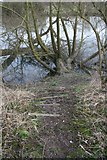
14 images in cluster Thames Path in SU5985
Image clustering - assigning images labels - is an automated process, based on the image title/description. It's not totally accurate, and can sometimes assign images to odd clusters

Explore these images in the Browser or Explore matching images including in surrounding squares (if any!)
Other Automatic clusters in SU5985
- Fairmile Hospital
- Near
- Moulsford Bridge
- River
- Ferry Lane
- Fair Mile
- George Schuster
- Railway
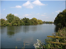
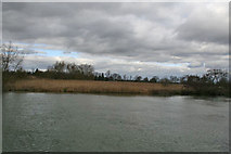
- River Thames
- Cholsey Meadows
- Going
- Moulsford Station
- Silly Bridge
- Gantry at Moulsford Bridge
- Demolished
- Houses Built
- Waterloo
- Boshers Yard
- Papist Way
- Chapel
- Reading Road
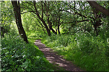
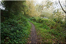
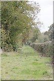
- Thames Path
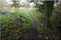
- Gate
- Morning Star
- Homes on the Fairmile
- Built on the site of the Old
- Cholsey Marsh
- Looks Like
- Tree Planting
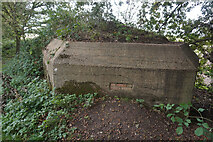
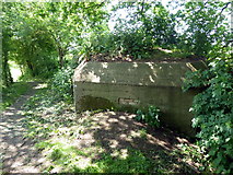
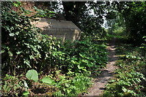
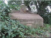
- Pillbox
- Social Club
- Part of the Hospital
- GWR Electrification
- Reception Area
- Right Used
- Cricket Pitch
- Took a Photo
- Great Hall
- Block of Flats
- Train Heading
- Goods Entrance
- Nurses' Accommodation
- View of the Cutting
- Orange Way after Wiltshire
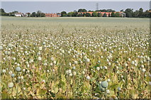
- Field of Poppies
- Ipsten Ward
- Faringdon Ward
- Part of the Building
- Weedon Close
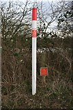
- Ordnance Survey Cut Mark Benchmark
- Celsea Place
- Time Cricket was Played
- Cleared for a New
- Downs Café
- Work is Carried
- Fence that has been Erected
- Fast Line
- Signs Like
- Days are Numbered
- Telecommunications Mast
- Link Shows
- Passing Place on Ferry Lane
- Part of the Bank
- Opium Poppy Papaver Somniferum which is Used
- Tall Pylons