Showing most recent first, in descending order
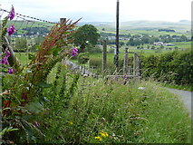
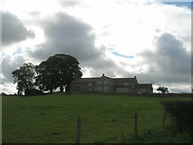
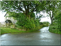
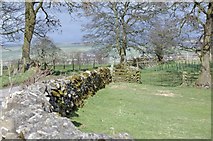
4 images in cluster Todmanhaw in SD8256
Image clustering - assigning images labels - is an automated process, based on the image title/description. It's not totally accurate, and can sometimes assign images to odd clusters
in SD8256, near Town Head/SD8258
Explore these images in the Browser or Explore matching images including in surrounding squares (if any!)
Other Automatic clusters in SD8256
- River Ribble from Cow Bridge
- Ordnance Survey Cut Mark
- Farm
- Long Preston
- Todmanhaw
- Near
- Ordnance Survey Cut Mark Benchmark Described
- Todmanshaw Lane
- List Entry
- Downstream
- Ruined Barn
- Road to Sandholme
- Entrance Drive to Sandholme from Church Lane
- Ribble Way
- Parish Boundary
- Flat Lane
- Grazing
- Channel