Showing most recent first, in descending order
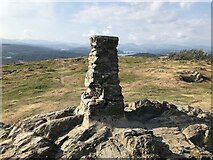
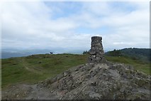
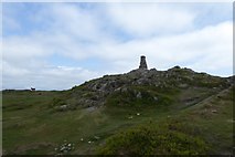
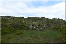
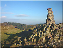
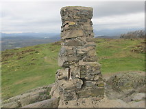
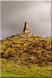
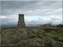
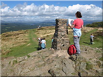
12 images in cluster Trig Point in SD3988
Image clustering - assigning images labels - is an automated process, based on the image title/description. It's not totally accurate, and can sometimes assign images to odd clusters
in SD3988, near Cartmel Fell
Explore these images in the Browser or Explore matching images including in surrounding squares (if any!)
Other Automatic clusters in SD3988
- Trig Point
- Looking
- Path
- Plantation
- Tarn
- Footpath
- Gummer's Howe
- Birch Fell
- Luing Cattle
- Southern
- South and a Footpath then Leads West
- River Leven
- Summit Area
- Rawlinson Nab
- Pillar
- 321m
- Near
- Larch
- Lakeside
- Lakeland Fells
- View North