Showing most recent first, in descending order
20 images in cluster Victoria Bridge in SJ9698
Image clustering - assigning images labels - is an automated process, based on the image title/description. It's not totally accurate, and can sometimes assign images to odd clusters
in SJ9698, near Stalybridge
Explore these images in the Browser or Explore matching images including in surrounding squares (if any!)
Other Automatic clusters in SJ9698
- Huddersfield Narrow Canal
- Stalybridge Town
- Market Street
- Victoria
- Centre
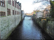
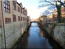
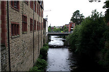
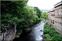
- River Tame
- Mottram Road
- Melbourne Street
- Holy Trinity
- Victoria Market
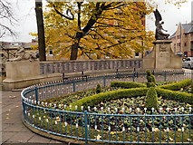
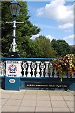
- Victoria Bridge
- Bridge Carries
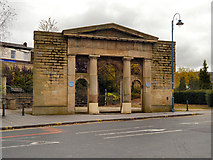
- Armentieres Square
- Waterloo Road
- Area of Stalybridge
- Remains
- Caroline Street
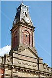
- Parish Church
- Public House
- Casablanca
- White House
- Jack Judge
- Lock 7W
- Stocks Lane
- Sundial
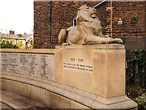
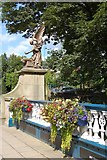
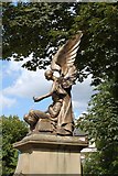
- Memorial Inscription
- Police Station
- New St George's Church
- Old Fleece
- Car Park
- Grade II Listed Building
- Conservative Club
- Railway Tunnel
- Sidebottom Family Vault
- Civic Hall
- Cocker Hill
- Sunday School
- Millpond Closed in 2014 and was Boarded
- Looking West
- Looking Downstream
- Left of the Grade II Listed
- Cotton Mills
- Alternative View
- Lord Stamford
- Boat Traffic
- Years of Friendship
- Sandwich Shop
- County of Cheshire
- Publicly in 1912 at the Grand Theatre
- Manor of Staley
- Ghost Sign
- Bus Shelters
- Hand side of the Grade II Listed
- Szoda Bar