Showing most recent first, in descending order
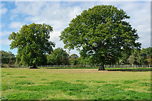
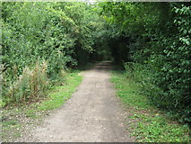
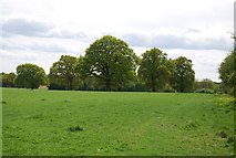
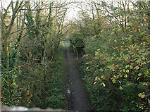
4 images in cluster View South in TQ1427
Image clustering - assigning images labels - is an automated process, based on the image title/description. It's not totally accurate, and can sometimes assign images to odd clusters
in TQ1427, near Two Mile Ash/TQ1427
Explore these images in the Browser or Explore matching images including in surrounding squares (if any!)
Other Automatic clusters in TQ1427
- Mile Ash
- Bax Castle
- Mile Ash Road
- Downs Link Path
- Footpath off the Downs Link
- Trees
- Christ's Hospital
- Arun Valley Line
- View South
- Wood
- Field
- Bax Castle Pub
- Horsham Line
- Junction
- Little Stammerham Farm
- Bridge over the Downs Link
- Public Footpath
- Mile Ash Road over the Downs Link
- Moat House
- Courtland
- Entrance to the Bax Castle
- Farmland by the Downs Link
- Footpath Signpost