Showing most recent first, in descending order
4 images in cluster Westerdale Moor in NZ6802
Image clustering - assigning images labels - is an automated process, based on the image title/description. It's not totally accurate, and can sometimes assign images to odd clusters
in NZ6802, near Westerdale/NZ6605
Explore these images in the Browser or Explore matching images including in surrounding squares (if any!)
Other Automatic clusters in NZ6802
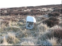
- Old Boundary Marker by Westerdale Head
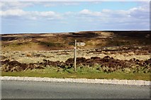
- Road
- Boundary Stone
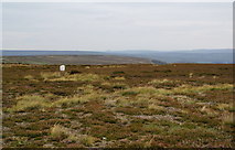
- Westerdale Moor
- Castleton Road
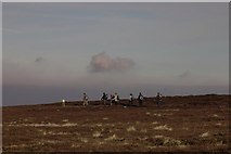
- Esk Valley Walk
- Western Howes
- Old Boundary Marker Near Westerdale Head
- Near Western Howes
- Hill
- Footpath Sign
- Bridleway
- Blakey Lane