Showing most recent first, in descending order
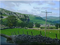
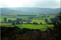
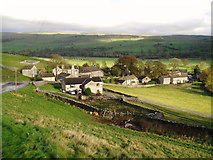
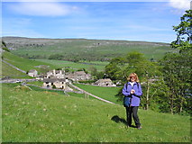
13 images in cluster Wharfedale in SD9767
Image clustering - assigning images labels - is an automated process, based on the image title/description. It's not totally accurate, and can sometimes assign images to odd clusters
Explore these images in the Browser or Explore matching images including in surrounding squares (if any!)
Other Automatic clusters in SD9767
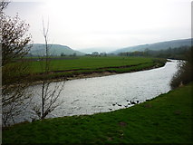
- River Wharfe at Conistone
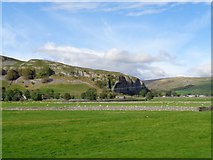
- Kilnsey Crag
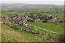
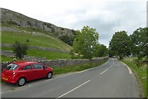
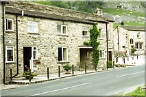
- Wharfedale
- Near
- Tennant Arms
- Village
- Mastiles Lane
- B6160 Road
- Kilnsey Park
- Fields
- Trout Farm
- Old Hall
- Upstream
- Kilnsey Show
- Bank of the River Wharfe
- Downstream
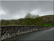
- Parapet of Conistone Bridge
- White Beck
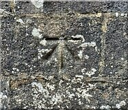
- Ordnance Survey Cut Mark Benchmark Described
- Pub
- Fishing Lake
- Wharfe was Flowing Exceedingly Quickly
- Sikes Beck Runs
- Arms Public House
- Kilnsey Park Trout Farm
- Kilnsey Crag in the Background
- Junction
- Green
- Grass Wood
- Wider View