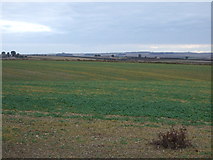
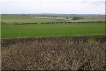
Showing most recent first, in descending order
2 images in cluster Wolds in TA0669
Image clustering - assigning images labels - is an automated process, based on the image title/description. It's not totally accurate, and can sometimes assign images to odd clusters
Explore these images in the Browser or Explore matching images including in surrounding squares (if any!)
Other Automatic clusters in TA0669
- Thwing Lane
- Near Thwing
- Civil Parish Boundary
- Field Near Rudston Grange
- Heading North West
- Minor Road towards Thwing
- South-east
- Stubble Field Near
- Wolds