Showing most recent first, in descending order
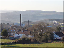
15 images in cluster Yeadon in SE2040
Image clustering - assigning images labels - is an automated process, based on the image title/description. It's not totally accurate, and can sometimes assign images to odd clusters

Explore these images in the Browser or Explore matching images including in surrounding squares (if any!)
Other Automatic clusters in SE2040
- New Road
- Henshaw Lane
- Rawdon
- Viewed
- Engine Fields
- Apperley Lane
- Green Lane
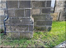
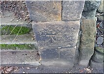
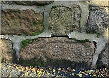
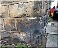
- Benchmark Cut
- St John's Drive
- Rufford Avenue
- Gill Lane
- Footpath
- Harper
- Westfield Mill
- Henshaw Avenue
- Emsley's Farm Shop
- Westfield Industrial Estate
- Car
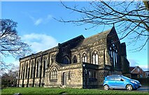
- Trinity Church
- Crescent
- Church Street
- Whack House Lane
- Sunday School
- Parkland View
- Greenacre Park
- Electricity Substation
- Cycleway Runs for 1.3km from Engine Fields
- Quaker Cottage
- Housing Development
- Tyres
- Brooklands
- Looking North
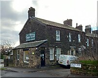
- Typifies the Modest Nature of these Buildings
- Blossom Court
- Barfield Drive
- St John's Way
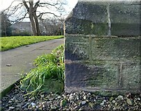
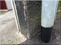
- Cut into a Stone Post
- Right Hand Upright of the Old Shelter
- Pennythorne Drive
- Dyers and Finishers Premises
- Milestone Society National ID
- Filling Station
- Harper Terrace
- Small Bridge