Geo-Trips :: Belmont to Woodwick, 5th July 2013
Unst
A walk from Belmont, Fri, 5 Jul 2013 by Mike Pennington
On the map below, the grey line is the GPS track from this trip. Click the blue circles to see a photograph taken from that spot and read further information about the location. The blue lines indicate the direction of view. There is also a slideshow of this trip. ( )
↓ Scroll down here ↓
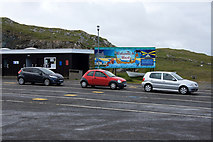
Ferry queue at Belmont
The board behind has just been repainted by the Unst Youth Group, the third design... more
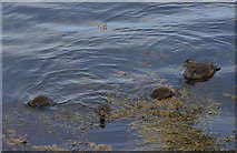
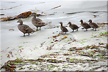
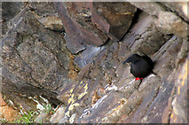
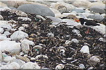
Eider and ducklings, Belmont
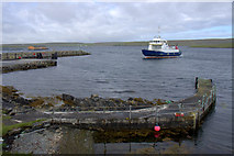
Ferry arriving at Belmont
In the foreground is an old pier with a notice that it is unsafe to use.
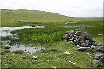
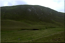
South end of Loch of Belmont
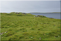
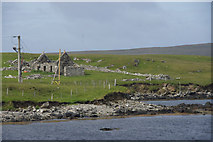
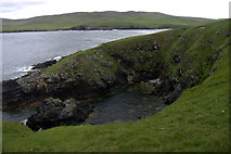
Broch at Hoga Ness, Belmont
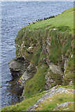
Shags (Phalcrocorax aristotelis) at Doogers, near Belmont
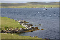
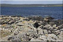
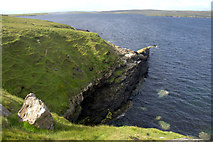
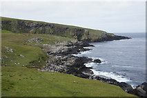
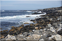
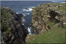
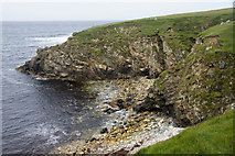
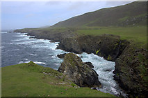
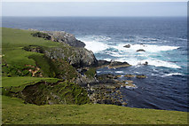
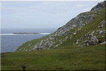
Coast north of Doogers, near Belmont
A small creel boat is passing through Bluemull Sound.
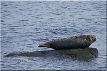
Common Seal (Phoca vitulina), Snarra Voe
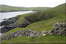
Voehead, Snarravoe
Hamar of Snarravoe
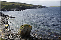
Small rocky promontory; Cullivoe in the background.
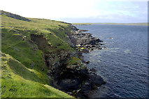
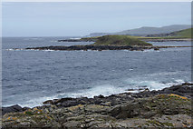
Coast north of Brei Geo, Snabrough
Looking to Blue Mull from the coast at Snabrough
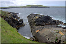
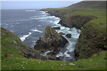
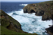
Rexter Geo, Snabrough
Hellier Geo, Snabrough
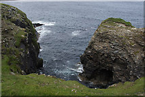
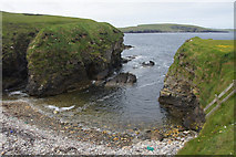
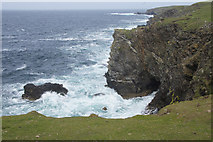
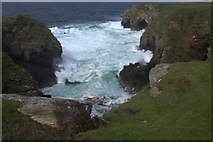
Otters Geo, Lund
Otters Geo, Lund
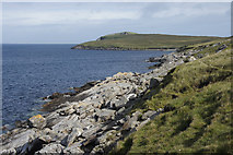
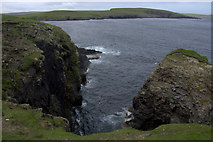
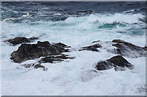
Cliffs south of Lamba Stack, Lund
The Keen, Blue Mull
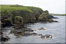
Freckles Geo, Blue Mull
Cliffs at Freckles Geo, Blue Mull
Wall on Blue Mull
The Vere from east of Blue Mull at Lund
Coast east of the Blue Mull at Lund
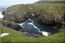
Gorsendi Geo, Lund
Gorsendi Geo, Lund
Eiders and ducklings, Lund
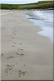
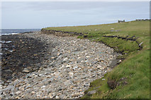
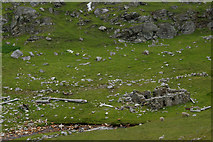
Footprints on Lund beach
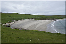
Lund beach from the east
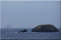
The Vere from Underhoull, Westing
In the background is the drilling rig, West Phoenix.
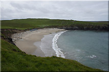
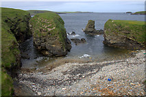
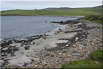
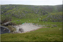
Burga Sands, Lund
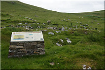
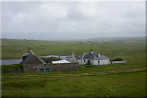
Iron Age and Norse farmstead, Underhoull, Westing
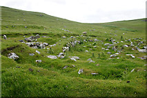
Iron Age and Norse farmstead, Underhoull, Westing
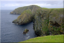
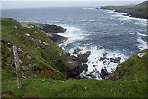
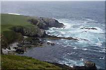
Un-named geo at Kame of Cruss, Westing
Un-named geo at Kame of Cruss, Westing
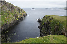
Otter Geo, Westing
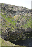
Osmis Geo, Westing
Osmis Geo, Westing
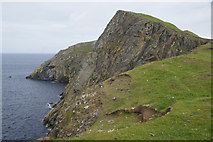
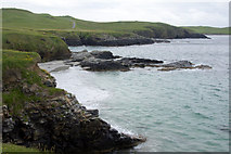
Coast at Kame of Cruss, Westing
The Stack of Ottergeo is to the right of centre.
Sand Geo, Westing
Looking towards the Vere from Houllnan Ness, Westing
Doo's Geo, Houllnan Ness, Westing
The Westing holms from Houllnan Ness
Round Holm and Lang Holm from Houllnan Ness, Westing
The Vere from Houllnan Ness, Westing
Doo's Geo, Houllnan Ness Westing
Looking towards the Blue Mull.
Brough Holm from Houllnan Ness, Westing
Small sandy beach on the north side of Houllnan Ness, Westing
Coast at Sluggins, Kirkaby, Westing
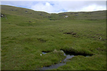
Mire at Kirkaby, Westing
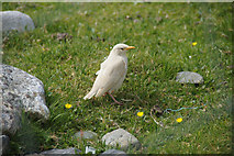
Leucistic Starling (Sturnus vulgaris), Kirkaby, Westing
An unusual Starling with no pigmentation in its plumage.
Ayre of Quoy, Westing
Kirkaby and Lang Holm, Westing
Black Guillemot (Cepphus grylle), Punds Geo, Westing
Known as the Tystie in Shetland.
Punds Geo, Westing
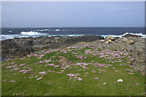
Thrift on Spoo Ness, Westing
Ayre of Collaster, Westing
Oystercatcher (Haemotopus ostralegus), Ayre of Collaster, Westing
The pleeping of Oystercatchers is an almost constant accompaniment to almost any... more
Beach at Wick of Collaster, Westing
Longa Taing, Ness of Collaster, Westing
Doun Hellier, Ness of Collaster, Westing
Coast between Ness of Collaster and Bogligarths, Westing
Coast between Ness of Collaster and Bogligarths, Westing
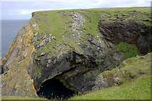
Cave between Ness of Collaster and Bogligarths, Westing
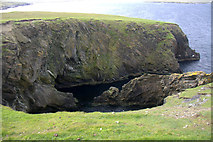
Bogligarths Geo, Westing
From the south side.
Bogligarths Geo, Westing
From the east.
Bogligarths Geo, Westing
From the north.
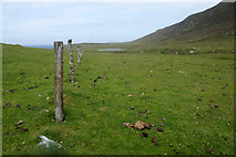
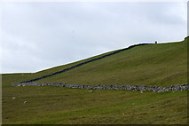
Old fence line, Bogligarths, Westing
The fence cut off the small headland of Keostinse.
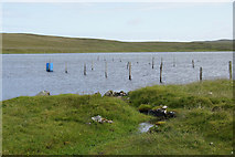
Loch of Bogligarths, Westing
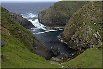
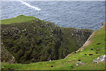
Fill Geo, Westing
Fill Geo, Westing
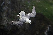
Fulmar (Fulmarus glacialis), Fill Geo, Westing
Playing in the updrafts on a breezy day.
Longa Geo, Westing
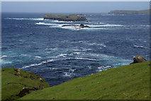
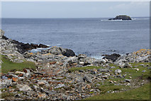
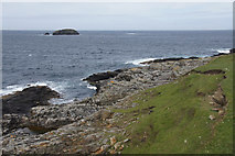
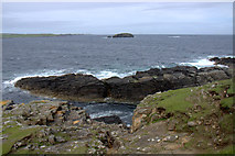
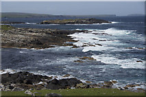
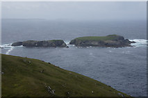
Skerries at Clave, between Westing and Woodwick
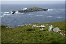
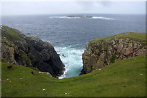
The South Holms of Woodwick in the background.
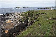
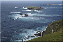
Ness of Clave, between Westing and Woodwick
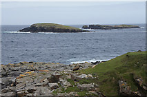
View from above Clave, between Westing and Woodwick
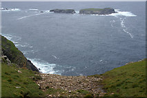
Un-named skerries in the foreground, then the South and North Holms of Woodwick.
Ness of Clave, between Westing and Woodwick
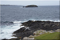
Skerries at Clave, between Westing and Woodwick
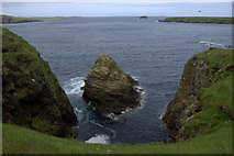
Sinna Stack, between Westing and Woodwick
A natural arch.
South Holms of Woodwick from Houllnahevda, between Westing and Woodwick
Small burn at Verda Pund, between Westing and Woodwick
Verda Pund, between Westing and Woodwick
South Holms of Woodwick in the background.
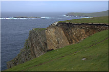
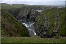
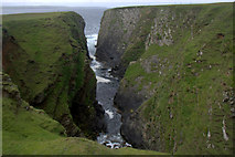
Longa Geo, south of Woodwick
The cliff fall is several years old, but still looks very fresh.
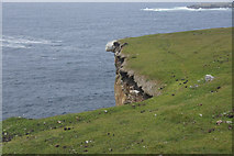
Longa Geo, south of Woodwick
May advice would be not to try standing on the rock!
Longa Geo, south of Woodwick
Far too windy to even attempt to see the bottom of the geo.
South Surida Dale, Woodwick
North Holms of Woodwick in the background.
South Surida Dale, Woodwick
South Surida Dale, Woodwick
South Holms of Woodwick in the background.
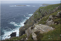
Cliffs at Muckle Heyler, Woodwick
Above Muckle Heyler, Woodwick
South Holms of Woodwick in the background.
Geo of Virdapund, Woodwick
Woodwick from the south
Ruin at Woodwick
Hevda Hill from the Dale of Woodwick
Houlland, Baltasound
Perched above Loch of Cliff.
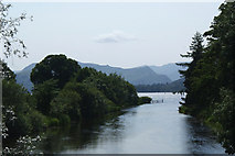
River Eamont flowing out of Ullswater at Pooley Bridge
The bridge over the Eamont from which this photo was taken was one of those washed... more
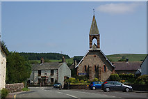
St Paul's Church, Pooley Bridge
All images © Mike Pennington and available under a
Creative Commons licence  .
.