2008
SN2929 : Rhos Pwllygawnen
taken 16 years ago, near to Trelech, Carmarthenshire/Sir Gaerfyrddin, Wales
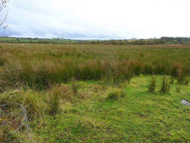
Rhos Pwllygawnen
Very rough grazing land to the south-east of Trelech.
 Map © Crown Copyright")
TIP: Click the map for more Large scale mapping
- Grid Square
- SN2929, 4 images (more nearby 🔍)
- Photographer
- Jonathan Billinger (more nearby)
- Date Taken
- Wednesday, 15 October, 2008 (more nearby)
- Submitted
- Thursday, 16 October, 2008
- Subject Location
-
OSGB36:
 SN 293 297 [100m precision]
WGS84: 51:56.3790N 4:29.0465W - Camera Location
-
OSGB36: SN 293 297
- View Direction
- South-southeast (about 157 degrees)