2008
TQ1913 : Downs Link
taken 15 years ago, near to Small Dole, West Sussex, England
This is 1 of 6 images, with title Downs Link in this square
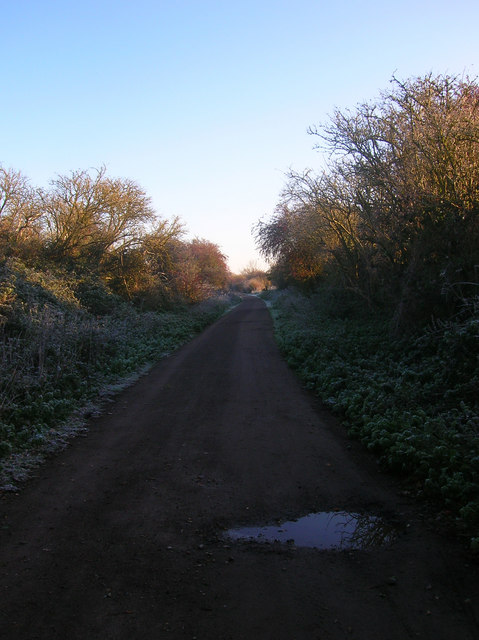
Downs Link
A long distance cycle route and bridleway linking Guildford to Shoreham that was opened in 1984. Much of it follows the course of an old railway; the Shoreham to Christ's Hospital section opened in 1861 and was closed in 1966. At this point the route has just rejoined the course of the old railway having made its way through the suburbs of Steyning as some sections of the former track are now the town's by-pass.
 Map © Crown Copyright")
TIP: Click the map for more Large scale mapping
- Grid Square
- TQ1913, 85 images (more nearby 🔍)
- Photographer
- Simon Carey (more nearby)
- Date Taken
- Tuesday, 28 October, 2008 (more nearby)
- Submitted
- Wednesday, 29 October, 2008
- Subject Location
-
OSGB36:
 TQ 196 132 [100m precision]
WGS84: 50:54.3902N 0:17.9439W - Camera Location
-
OSGB36: TQ 196 132
- View Direction
- Northeast (about 45 degrees)