2008
TM2556 : The Street, Charsfield
taken 15 years ago, near to Charsfield, Suffolk, England
This is 1 of 4 images, with title The Street, Charsfield in this square
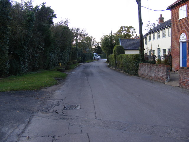
The Street, Charsfield
At the junction with Chapel Lane near Charsfield Baptist Church
 Map © Crown Copyright")
TIP: Click the map for more Large scale mapping
- Grid Square
- TM2556, 86 images (more nearby 🔍)
- Photographer
- Geographer (more nearby)
- Date Taken
- Friday, 31 October, 2008 (more nearby)
- Submitted
- Saturday, 1 November, 2008
- Subject Location
-
OSGB36:
 TM 2584 5629 [10m precision]
WGS84: 52:9.5197N 1:18.0195E - Camera Location
-
OSGB36: TM 2584 5629
- View Direction
- WEST (about 270 degrees)