2008

TM1845 : The Salvation Army

taken 15 years ago, near to Rushmere st Andrew, Suffolk, England
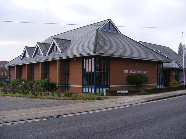
The Salvation Army
The Salvation Army
Off the A1071 Woodbridge Road

Creative Commons Licence [Some Rights Reserved]   © Copyright Geographer and licensed for reuse under this Creative Commons Licence.
Geographical Context: Religious sites Off: The A1071 Woodbridge Road Near: Rushmere St Andrew At: Ipswich Church: Salvation Army Primary Subject: Church Category: Salvation Army buildings other tags: Woodbridge Road A1071 Road Junction Juniper Road The Salvation Army Salvation Army Buildings Click a tag, to view other nearby images.
This photo is linked from: Automatic Clusters: · A1071 Woodbridge Road [14] ·
1:50,000 Modern Day Landranger(TM) Map © Crown Copyright
+
+
1:50,000 Modern Day Landranger(TM) Map © Crown Copyright
TIP: Click the map for more Large scale mapping
Grid Square
TM1845, 92 images   (more nearby 🔍)
Photographer
Geographer   (more nearby)
Date Taken
Tuesday, 4 November, 2008   (more nearby)
Submitted
Tuesday, 4 November, 2008
Subject Location
OSGB36: geotagged! TM 187 450 [100m precision]
WGS84: 52:3.6274N 1:11.3336E
Camera Location
OSGB36: geotagged! TM 187 450
View Direction
Southwest (about 225 degrees)
Clickable map
+
NW N NE
W Go E
SW S SE
Image classification(about): Geograph (Second Visitor for TM1845)
This page has been viewed about 61 times
You are not logged in login | register