2008
SJ6957 : Strip of land between a footpath and the playing fields
taken 15 years ago, near to Coppenhall Moss, Cheshire East, England
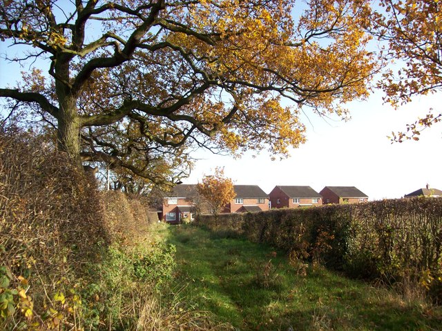
Strip of land between a footpath and the playing fields
Looking towards Mablins Lane
 Map © Crown Copyright")
TIP: Click the map for more Large scale mapping
- Grid Square
- SJ6957, 20 images (more nearby 🔍)
- Photographer
- Tom McCallister (more nearby)
- Date Taken
- Sunday, 16 November, 2008 (more nearby)
- Submitted
- Sunday, 16 November, 2008
- Subject Location
-
OSGB36:
 SJ 696 578 [100m precision]
WGS84: 53:7.0229N 2:27.2856W - Camera Location
-
OSGB36: SJ 696 578
- View Direction
- EAST (about 90 degrees)