2008
NJ3433 : The track from Glacks of Balloch
taken 15 years ago, near to Ballochford, Moray, Scotland
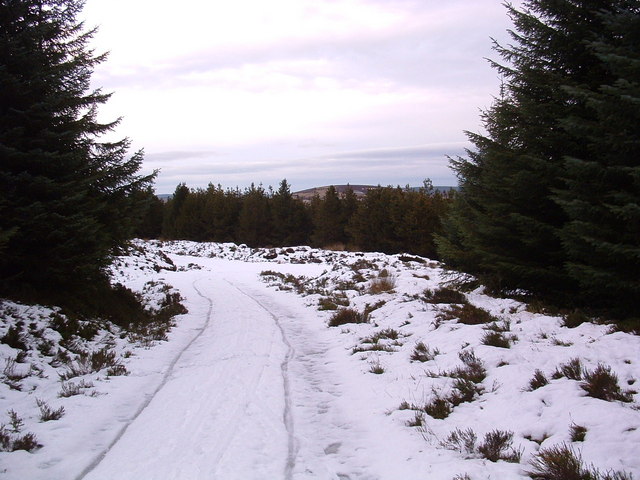
The track from Glacks of Balloch
The growing conifers hide the landscape around, but at this junction, a brief view of Ben Main can be seen.
 Map © Crown Copyright")
TIP: Click the map for more Large scale mapping
- Grid Square
- NJ3433, 13 images (more nearby 🔍)
- Photographer
- alan souter (more nearby)
- Date Taken
- Saturday, 6 December, 2008 (more nearby)
- Submitted
- Sunday, 7 December, 2008
- Subject Location
-
OSGB36:
 NJ 344 336 [100m precision]
WGS84: 57:23.3280N 3:5.5254W - Camera Location
-
OSGB36: NJ 344 336
- View Direction
- North-northeast (about 22 degrees)