2008
SO7221 : From Taynton to May Hill -3
taken 15 years ago, near to Taynton, Gloucestershire, England
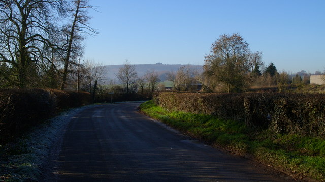
From Taynton to May Hill -3
The iconic image of May Hill stands boldly in the distance. Why is it the best images straddle grid squares?
 Map © Crown Copyright")
TIP: Click the map for more Large scale mapping
- Grid Square
- SO7221, 36 images (more nearby 🔍)
- Photographer
- David Robinson (more nearby)
- Date Taken
- Sunday, 7 December, 2008 (more nearby)
- Submitted
- Monday, 8 December, 2008
- Subject Location
-
OSGB36:
 SO 729 217 [100m precision]
WGS84: 51:53.5913N 2:23.6691W - Camera Location
-
OSGB36: SO 730 217
- View Direction
- West-southwest (about 247 degrees)