2008
SN3214 : Lane and Pylons
taken 15 years ago, near to Llangynog, Carmarthenshire/Sir Gaerfyrddin, Wales
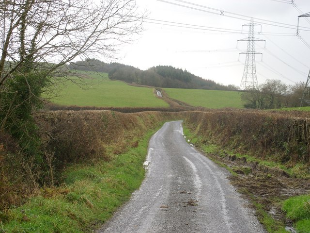
Lane and Pylons
Lane heading south towards Ally y Gelli under the National Grid pylons that traverse the countryside.
 Map © Crown Copyright")
TIP: Click the map for more Large scale mapping
- Grid Square
- SN3214, 6 images (more nearby 🔍)
- Photographer
- Peter Shaw (more nearby)
- Date Taken
- Tuesday, 9 December, 2008 (more nearby)
- Submitted
- Tuesday, 9 December, 2008
- Subject Location
-
OSGB36:
 SN 329 147 [100m precision]
WGS84: 51:48.3815N 4:25.4814W - Camera Location
-
OSGB36: SN 330 150
- View Direction
- South-southwest (about 202 degrees)