1999
TQ7736 : Cranbrook High Street
taken 25 years ago, near to Cranbrook, Kent, England
This is 1 of 2 images, with title Cranbrook High Street in this square
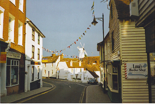
Cranbrook High Street
Kentish village street with weather-boarded houses and old windmill.
 Map © Crown Copyright")
TIP: Click the map for more Large scale mapping
- Grid Square
- TQ7736, 409 images (more nearby 🔍)
- Photographer
- Colin Smith (more nearby)
- Date Taken
- July 1999 (more nearby)
- Submitted
- Thursday, 19 January, 2006
- Subject Location
-
OSGB36:
 TQ 7774 3601 [10m precision]
WGS84: 51:5.7510N 0:32.2177E - Camera Location
-
OSGB36: TQ 7772 3602
- View Direction
- East-southeast (about 112 degrees)