2007
SX8852 : The Dartmouth High Ferry
taken 17 years ago, near to Dartmouth, Devon, England
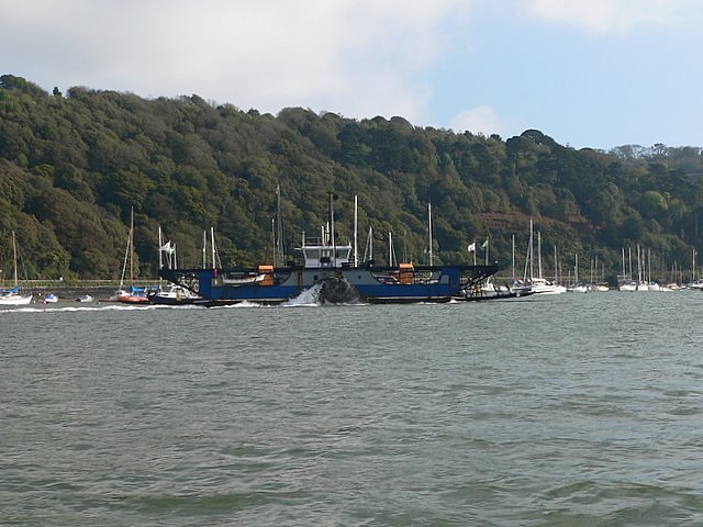
The Dartmouth High Ferry
View from mid-estuary, taken from the Dittisham to Dartmouth Ferry. This ferry serves the main A379 route across the Dart estuary while the lower ferry takes cars across from dartmouth to Kingswear.
 Map © Crown Copyright")
TIP: Click the map for more Large scale mapping
- Grid Square
- SX8852, 191 images (more nearby 🔍)
- Photographer
- Wendy North (more nearby)
- Date Taken
- Saturday, 13 October, 2007 (more nearby)
- Submitted
- Sunday, 28 December, 2008
- Subject Location
-
OSGB36:
 SX 881 522 [100m precision]
WGS84: 50:21.5424N 3:34.4686W - Camera Location
-
OSGB36: SX 880 522
- View Direction
- EAST (about 90 degrees)