2009
SX9982 : National Cycleway 2 & East Devon Way separate
taken 15 years ago, near to Lympstone, Devon, England
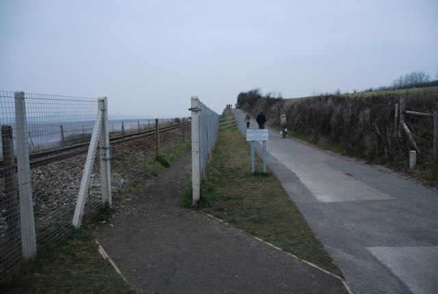
National Cycleway 2 & East Devon Way separate
East Devon Way
A 40 mile route that starts at Exmouth and follows the estuary of the River Exe to Lympstone and then turns east over the commons and rolling hills of the East Devon AONB via Harpford, Sidbury, Farway and Colyton to Lyme Regis. It covers a wide variety of landscapes; estuary, high open commons, woodlands and quiet river valleys. Walking is generally not difficult but the route does include some quite sharp climbs.
National Cycle Network Route 2
National Route 2 will link Dover with St. Austell when complete via the south coast of England and is sometimes referred to as the South Coast Cycle Route.
The route is only fully open, at present, and signed between Dover and Brighton, but is still under development between Brighton and St. Austell.
 Map © Crown Copyright")
TIP: Click the map for more Large scale mapping
- Grid Square
- SX9982, 70 images (more nearby 🔍)
- Photographer
- N Chadwick (more nearby)
- Date Taken
- Thursday, 1 January, 2009 (more nearby)
- Submitted
- Saturday, 10 January, 2009
- Subject Location
-
OSGB36:
 SX 998 824 [100m precision]
WGS84: 50:37.9870N 3:25.0395W - Camera Location
-
OSGB36: SX 998 824
- View Direction
- North-northwest (about 337 degrees)