2008
SE4624 : Fryston Lane
taken 16 years ago, near to Ferrybridge, Wakefield, England
This is 1 of 5 images, with title Fryston Lane in this square
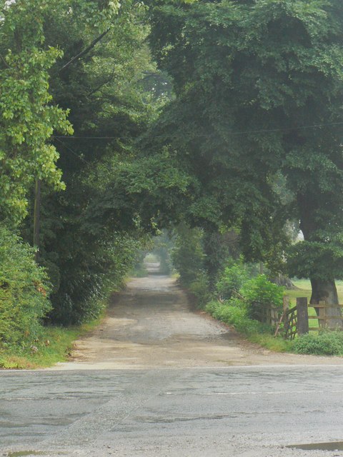
Fryston Lane
The view north along Fryston Lane from Holmfield Lane across the junction with Sheepwalk Lane and Stranglands Lane.
 Map © Crown Copyright")
TIP: Click the map for more Large scale mapping
- Grid Square
- SE4624, 58 images (more nearby 🔍)
- Photographer
- bernard bradley (more nearby)
- Date Taken
- Tuesday, 29 July, 2008 (more nearby)
- Submitted
- Thursday, 15 January, 2009
- Subject Location
-
OSGB36:
 SE 467 247 [100m precision]
WGS84: 53:43.0407N 1:17.5759W - Camera Location
-
OSGB36: SE 467 246
- View Direction
- NORTH (about 0 degrees)