2009

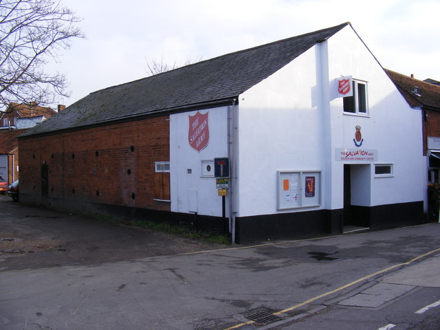
TM2749 : The Salvation Army, New Street, Woodbridge

taken 15 years ago, near to Woodbridge, Suffolk, England

The Salvation Army, New Street, Woodbridge
LinkExternal link

See other images of Woodbridge, Suffolk

Creative Commons Licence [Some Rights Reserved]   © Copyright Geographer and licensed for reuse under this Creative Commons Licence.
Geographical Context: Religious sites At: Woodbridge Primary Subject: Hall Category: Salvation Army buildings other tags: Salvation Army Building New Street The Salvation Army Click a tag, to view other nearby images.
This photo is linked from: Automatic Clusters: · Street in Woodbridge [60] · New Street [58] ·
1:50,000 Modern Day Landranger(TM) Map © Crown Copyright
+
+
1:50,000 Modern Day Landranger(TM) Map © Crown Copyright
TIP: Click the map for more Large scale mapping
Grid Square
TM2749, 746 images   (more nearby 🔍)
Photographer
Geographer   (more nearby)
Date Taken
Thursday, 29 January, 2009   (more nearby)
Submitted
Saturday, 31 January, 2009
Subject Location
OSGB36: geotagged! TM 2743 4910 [10m precision]
WGS84: 52:5.6086N 1:19.1236E
Camera Location
OSGB36: geotagged! TM 2742 4910
View Direction
EAST (about 90 degrees)
Clickable map
+
NW N NE
W Go E
SW S SE
Image classification(about): Geograph
This page has been viewed about 56 times
You are not logged in login | register