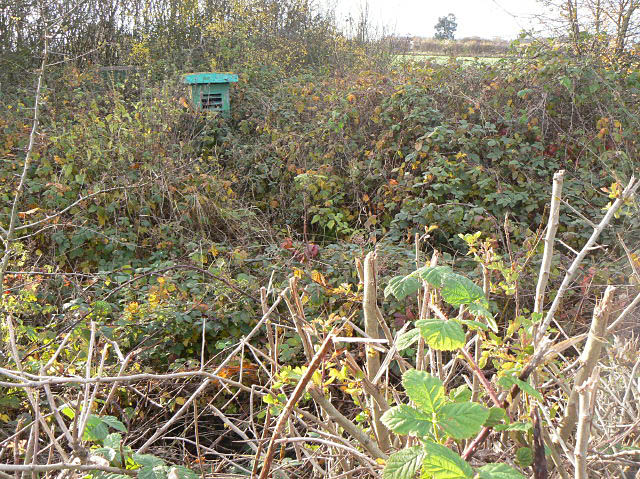
SK6444 : Burton Joyce ROC Monitoring post
taken 15 years ago, near to Lambley, Nottinghamshire, England
The Royal Observer corps was a civil defence organisation operating in the United Kingdom between 29 October 1925 and 31 December 1995.
During the cold war ROC monitoring posts were developed for monitoring fallout and radiation in the event of a nuclear attack. The operators hidden below would occasionally emerge to collected photographic film from a 4-axis parabolic camera mounted near the hatch, retreating below ground to develop it. A patch of darkening might have indicated the direction of an explosion. Once centally collated these observations would triangulate the site of an attack.
A variety of instruments would detect radiation and fallout levels, and the bunker itself used the earth to protect the volunteer observers, who had telephone and radio communications up the chain of command.
There were 1,563 of these posts constructed and one of the specialist groups researching the history of the ROC has mapped them all. See Link(there is a great deal of detailed information about the posts on the rest of that site)
See Link
There is a good history of the ROC on wikipedia at Link
 Map © Crown Copyright")
- Grid Square
- SK6444, 52 images (more nearby 🔍)
- Photographer
- Alan Murray-Rust (more nearby)
- Date Taken
- Friday, 14 November, 2008 (more nearby)
- Submitted
- Wednesday, 18 February, 2009
- Subject Location
-
OSGB36:
 SK 643 448 [100m precision]
WGS84: 52:59.8165N 1:2.5777W - Camera Location
-
OSGB36: SK 643 448
- View Direction
- South-southwest (about 202 degrees)