2009
SX6767 : Tin working near Gibby Beam
taken 15 years ago, 4 km W of Scorriton, Devon, England
Tin working near Gibby Beam
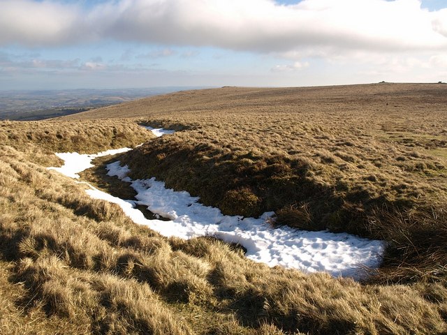
Snow lies in a tin working that links westwards to the complex of workings at Gibby Beam on the slopes of the Western Wella Brook valley, but this working is on the east side of the ridge, sloping down into Buckfastleigh Moor. On the right horizon are cairns on Puper's Hill.
 Map © Crown Copyright")
TIP: Click the map for more Large scale mapping
- Grid Square
- SX6767, 36 images (more nearby 🔍)
- Photographer
- Derek Harper (more nearby)
- Date Taken
- Saturday, 21 February, 2009 (more nearby)
- Submitted
- Saturday, 28 February, 2009
- Subject Location
-
OSGB36:
 SX 6704 6784 [10m precision]
WGS84: 50:29.7139N 3:52.5562W - Camera Location
-
OSGB36: SX 6703 6785
- View Direction
- Southeast (about 135 degrees)