2009
NN9104 : Spillway and walkway
taken 15 years ago, 5 km SSE of Blackford, Perth And Kinross, Scotland
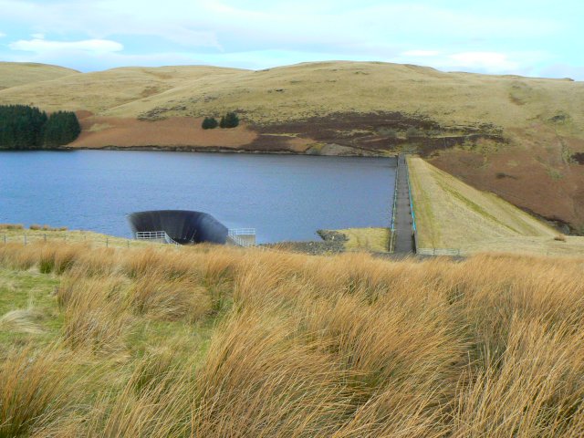
Spillway and walkway
The deep, steep-sided gulley into which the spill water from the Upper Glendevon reservoir falls, and the pedestrian walkway across the top of the dam wall.
 Map © Crown Copyright")
TIP: Click the map for more Large scale mapping
- Grid Square
- NN9104, 32 images (more nearby 🔍)
- Photographer
- James Allan (more nearby)
- Date Taken
- Monday, 23 February, 2009 (more nearby)
- Submitted
- Monday, 2 March, 2009
- Subject Location
-
OSGB36:
 NN 913 044 [100m precision]
WGS84: 56:13.2159N 3:45.1835W - Camera Location
-
OSGB36: NN 914 042
- View Direction
- NORTH (about 0 degrees)