2009
TQ8209 : Hastings Old Town Museum, High St
taken 15 years ago, near to Hastings, East Sussex, England
This is 1 of 29 images, with title starting with Hastings Old Town in this square
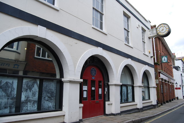
Hastings Old Town Museum, High St
At just less than 0.4 miles long the High Street has over one hundred listed buildings and structures, accounting for most of the Street.
Running diagonally from South-West to North-East. The South-West half starts from the junction of East Parade (A259), the buildings are predominantly shops, with flats above and contains a varied mix of shops such as antique shops, bric-a-brac, art shops and galleries, pubs and cafés, and the 'famous' Judge's Bakery. Half way along the street can be found, a cinema, the old town hall, and old post office. The middle to North-West is predominately housing, and near the end St Mary's of the Sea church. The road then re-joins with The Bourne (also the A259).
See other images of High Street, Hastings
 Map © Crown Copyright")
TIP: Click the map for more Large scale mapping
- Grid Square
- TQ8209, 4355 images (more nearby 🔍)
- Photographer
- N Chadwick (more nearby)
- Date Taken
- Wednesday, 4 March, 2009 (more nearby)
- Submitted
- Thursday, 5 March, 2009
- Subject Location
-
OSGB36:
 TQ 824 096 [100m precision]
WGS84: 50:51.4277N 0:35.4631E - Camera Location
-
OSGB36: TQ 824 095
- View Direction
- North-northeast (about 22 degrees)