2009
SO9199 : Wolverhampton City Incinerator
taken 15 years ago, near to Wolverhampton, England
This is 1 of 4 images, with title Wolverhampton City Incinerator in this square
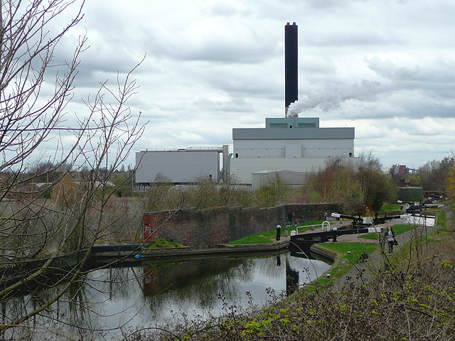
Wolverhampton City Incinerator
Seen from the A460 Cannock Road, and behind locks 6,7 and 8 of the Wolverhampton 21 flight. This Birmingham Canal Navigations cut joins the Staffordshire and Worcestershire at Aldersley Junction about a mile and a half on.
 Map © Crown Copyright")
TIP: Click the map for more Large scale mapping
- Grid Square
- SO9199, 676 images (more nearby 🔍)
- Photographer
- Roger D Kidd (more nearby)
- Date Taken
- Tuesday, 31 March, 2009 (more nearby)
- Submitted
- Thursday, 2 April, 2009
- Subject Location
-
OSGB36:
 SO 917 998 [100m precision]
WGS84: 52:35.7719N 2:7.4380W - Camera Location
-
OSGB36: SO 918 996
- View Direction
- North-northwest (about 337 degrees)