2009
SK4456 : South Normanton - Bethel Chapel
taken 15 years ago, near to South Normanton, Derbyshire, England
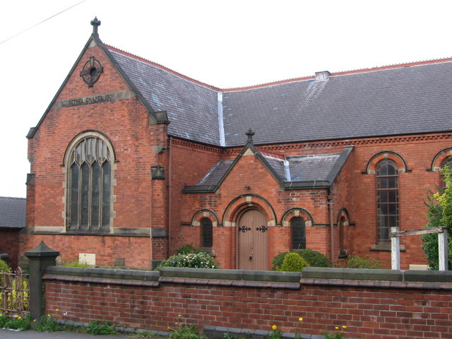
South Normanton - Bethel Chapel
 Map © Crown Copyright")
TIP: Click the map for more Large scale mapping
- Grid Square
- SK4456, 52 images (more nearby 🔍)
- Photographer
- Dave Bevis (more nearby)
- Date Taken
- Tuesday, 14 April, 2009 (more nearby)
- Submitted
- Tuesday, 14 April, 2009
- Subject Location
-
OSGB36:
 SK 444 569 [100m precision]
WGS84: 53:6.4467N 1:20.2397W - Camera Location
-
OSGB36: SK 444 568
- View Direction
- Northeast (about 45 degrees)