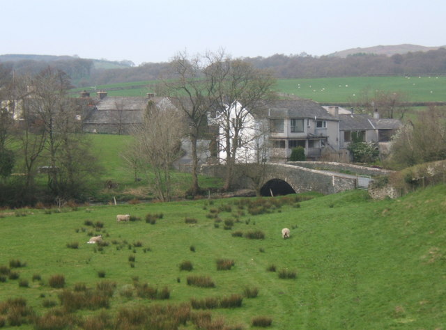
Here we have a typical combination of buildings at a river bridge (River Crake) next to a main road. The 160m length of the A 5084 southwards to the next road junction is a late 19C or early 20C creation; you used to have to go westwards to Croft Foot at
SD291863, where there was a smithy, and take the sharp left turn for Ulverston. The new road existed by1927 (although not a main road at that time) but not in 1890. It might have been constructed at the expense of the 'Lord of the Manor' to provide work for unemployed labourers.
There is the Red Lion Inn, which was frequented by Arthur Ransome, and Lowick Bridge Corn Mill, which had the type of weir that directs the flow towards the long, narrow millpond, so that the surplus flow goes sideways over the weir before continuing down the river. The millpond seems now to have been filled in and the weir shortened. Behind the inn there are, on the 1890 map, what I take to be stables and Mill farm, with its outbuildings, with two pumps in the yards.
A little way up the Blawith road is Bark House Bridge over Langholme Beck. I suspect that this stream was diverted long ago so that it entered the river just upstream of the weir.
Hundow Hall is at
SD293863 and Croft End at
SD294162. The eastern side of the valley is still very steep and mainly wooded. Bessy Bank Lane climbs up at around 1 in 5.
No images yet. There was the Farmers Arms, but this should have been in
SD3084.

