2009
SP0481 : The Bourn From Linden Road, Towards Cadburys
taken 15 years ago, near to Bournville, Birmingham, England
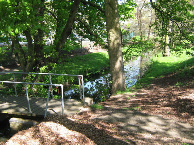
The Bourn From Linden Road, Towards Cadburys
This stream starts out as Merritts Brook, becomes Griffins Brook and then the Bourn to join the River Rea at Stirchley. SP0581 : The Bourn Joins The River Rea, Ten Acres, Stirchley
 Map © Crown Copyright")
TIP: Click the map for more Large scale mapping
- Grid Square
- SP0481, 242 images (more nearby 🔍)
- Photographer
- Roy Hughes (more nearby)
- Date Taken
- Tuesday, 21 April, 2009 (more nearby)
- Submitted
- Wednesday, 22 April, 2009
- Subject Location
-
OSGB36:
 SP 045 811 [100m precision]
WGS84: 52:25.6827N 1:56.0971W - Camera Location
-
OSGB36: SP 045 811
- View Direction
- East-northeast (about 67 degrees)