2009
SU6152 : Inside the Hill fort
taken 15 years ago, near to Basingstoke, Hampshire, England
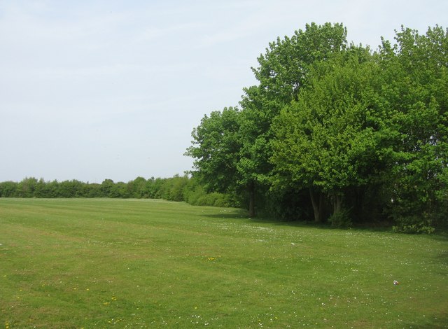
Inside the Hill fort
Winklebury Hill Fort, the eastern boundary as it appears today. This is now part of the local school playing field. Within the trees on the southern boundary the original ditch is still visible.
 Map © Crown Copyright")
TIP: Click the map for more Large scale mapping
- Grid Square
- SU6152, 1105 images (more nearby 🔍)
- Photographer
- Mr Ignavy (more nearby)
- Date Taken
- Thursday, 23 April, 2009 (more nearby)
- Submitted
- Saturday, 25 April, 2009
- Subject Location
-
OSGB36:
 SU 614 529 [100m precision]
WGS84: 51:16.3544N 1:7.2125W - Camera Location
-
OSGB36: SU 614 529
- View Direction
- NORTH (about 0 degrees)