2009
SE1309 : All Saints' Churchyard, Netherthong
taken 15 years ago, near to Netherthong, Kirklees, England
This is 1 of 2 images, with title starting with All Saints' Church in this square
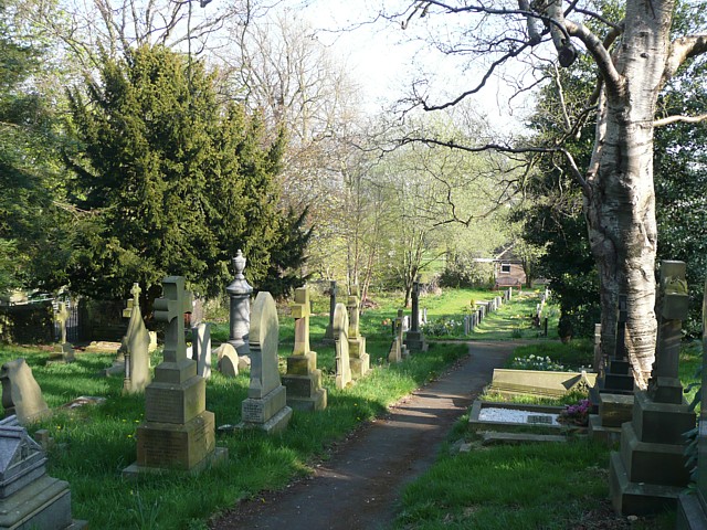
All Saints' Churchyard, Netherthong
Quite extensive on the hillside below the village, and my old six-inch map shows another 'Burial Ground' further down, off New Road.
 Map © Crown Copyright")
TIP: Click the map for more Large scale mapping
- Grid Square
- SE1309, 99 images (more nearby 🔍)
- Photographer
- Humphrey Bolton (more nearby)
- Date Taken
- Sunday, 19 April, 2009 (more nearby)
- Submitted
- Wednesday, 29 April, 2009
- Subject Location
-
OSGB36:
 SE 139 096 [100m precision]
WGS84: 53:34.9685N 1:47.4911W - Camera Location
-
OSGB36: SE 139 096
- View Direction
- Southeast (about 135 degrees)