2009
NC9661 : Sandside Burn
taken 15 years ago, 4 km S of Reay, Highland, Scotland
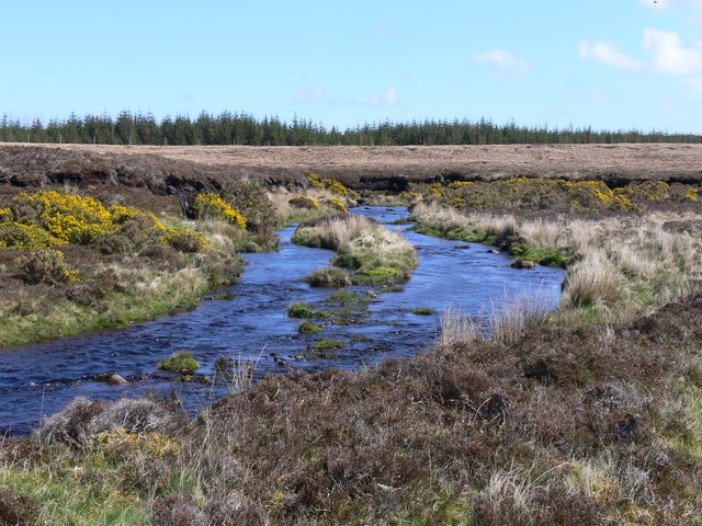
Sandside Burn
Sandside burn with gorse in full bloom and plantation forest in background
 Map © Crown Copyright")
TIP: Click the map for more Large scale mapping
- Grid Square
- NC9661, 2 images (more nearby 🔍)
- Photographer
- Paul Bellamy (more nearby)
- Date Taken
- Sunday, 3 May, 2009 (more nearby)
- Submitted
- Sunday, 3 May, 2009
- Subject Location
-
OSGB36:
 NC 967 611 [100m precision]
WGS84: 58:31.5543N 3:46.5287W - Camera Location
-
OSGB36: NC 965 611
- View Direction
- East-southeast (about 112 degrees)