2009
TR3158 : Looking E across North Poulder
taken 15 years ago, near to Great Stonar, Kent, England
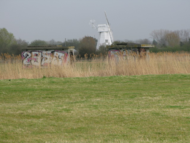
Looking E across North Poulder
 Map © Crown Copyright")
TIP: Click the map for more Large scale mapping
- Grid Square
- TR3158, 24 images (more nearby 🔍)
- Photographer
- Nick Smith (more nearby)
- Date Taken
- Saturday, 4 April, 2009 (more nearby)
- Submitted
- Thursday, 7 May, 2009
- Subject Location
-
OSGB36:
 TR 318 586 [100m precision]
WGS84: 51:16.7976N 1:19.3949E - Camera Location
-
OSGB36: TR 318 586
- View Direction
- EAST (about 90 degrees)