2009
NY7570 : Cleared plantation below Sweet Rigg
taken 15 years ago, near to Sweet Rigg [hill or Mountain], Northumberland, Great Britain
This is 1 of 3 images, with title starting with Cleared plantation below Sweet Rigg in this square
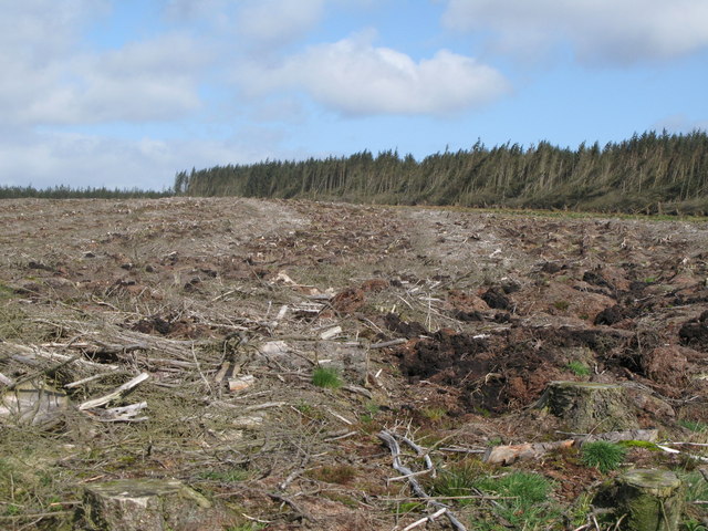
Cleared plantation below Sweet Rigg
 Map © Crown Copyright")
TIP: Click the map for more Large scale mapping
- Grid Square
- NY7570, 27 images (more nearby 🔍)
- Photographer
- Mike Quinn (more nearby)
- Date Taken
- Thursday, 7 May, 2009 (more nearby)
- Submitted
- Saturday, 9 May, 2009
- Subject Location
-
OSGB36:
 NY 757 701 [100m precision]
WGS84: 55:1.4903N 2:22.8510W - Camera Location
-
OSGB36: NY 759 700
- View Direction
- West-northwest (about 292 degrees)