2009
NC4953 : Moine Path
taken 15 years ago, near to Creag Riabhach Bheag [hill or Mountain], Highland, Great Britain
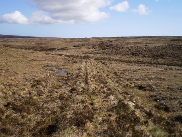
Moine Path
 Map © Crown Copyright")
TIP: Click the map for more Large scale mapping
- Grid Square
- NC4953, 2 images (more nearby 🔍)
- Photographer
- Colin Bennett (more nearby)
- Date Taken
- Monday, 11 May, 2009 (more nearby)
- Submitted
- Saturday, 16 May, 2009
- Subject Location
-
OSGB36:
 NC 492 536 [100m precision]
WGS84: 58:26.7140N 4:35.0405W - Camera Location
-
OSGB36: NC 490 535
- View Direction
- East-northeast (about 67 degrees)