2009
TL1998 : Customs House Anchor, Peterborough
taken 15 years ago, near to Stanground, Peterborough, England
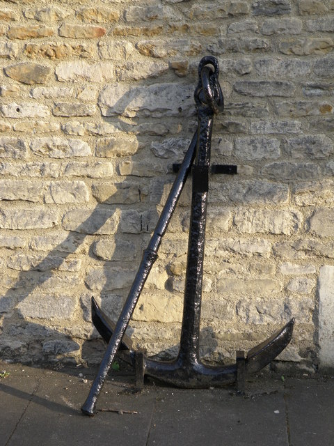
Customs House Anchor, Peterborough
A reminder that Peterborough was a busy inland port before the river Nene became controlled into a glorified drainage channel.
 Map © Crown Copyright")
TIP: Click the map for more Large scale mapping
- Grid Square
- TL1998, 1525 images (more nearby 🔍)
- Photographer
- Michael Trolove (more nearby)
- Date Taken
- Wednesday, 20 May, 2009 (more nearby)
- Submitted
- Thursday, 21 May, 2009
- Subject Location
-
OSGB36:
 TL 193 981 [100m precision]
WGS84: 52:34.1074N 0:14.4480W - Camera Location
-
OSGB36: TL 193 982
- View Direction
- South-southeast (about 157 degrees)