2009
SK6444 : Padleys Lane junction with Covert Close
taken 15 years ago, near to Burton Joyce, Nottinghamshire, England
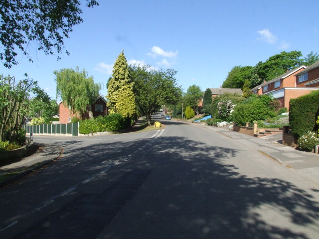
Padleys Lane junction with Covert Close
 Map © Crown Copyright")
TIP: Click the map for more Large scale mapping
- Grid Square
- SK6444, 52 images (more nearby 🔍)
- Photographer
- johnfromnotts (more nearby)
- Date Taken
- Monday, 11 May, 2009 (more nearby)
- Submitted
- Tuesday, 26 May, 2009
- Subject Location
-
OSGB36:
 SK 645 440 [100m precision]
WGS84: 52:59.3838N 1:2.4354W - Camera Location
-
OSGB36: SK 645 439
- View Direction
- North-northwest (about 337 degrees)