2009
NH1913 : River Doe and track from moorland
taken 15 years ago, 4 km NNW of Bun Loyne, Highland, Scotland
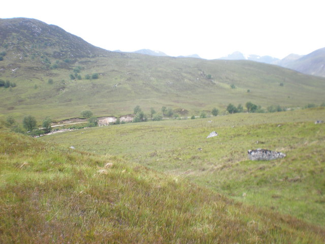
River Doe and track from moorland
 Map © Crown Copyright")
TIP: Click the map for more Large scale mapping
- Grid Square
- NH1913, 13 images (more nearby 🔍)
- Photographer
- Sarah McGuire (more nearby)
- Date Taken
- Tuesday, 16 June, 2009 (more nearby)
- Submitted
- Thursday, 18 June, 2009
- Subject Location
-
OSGB36:
 NH 194 137 [100m precision]
WGS84: 57:10.7572N 4:59.3063W - Camera Location
-
OSGB36: NH 198 137
- View Direction
- WEST (about 270 degrees)