2009
HY6121 : Rothisholm trig
taken 15 years ago, near to Rothiesholm, Stronsay, Orkney Islands, Scotland
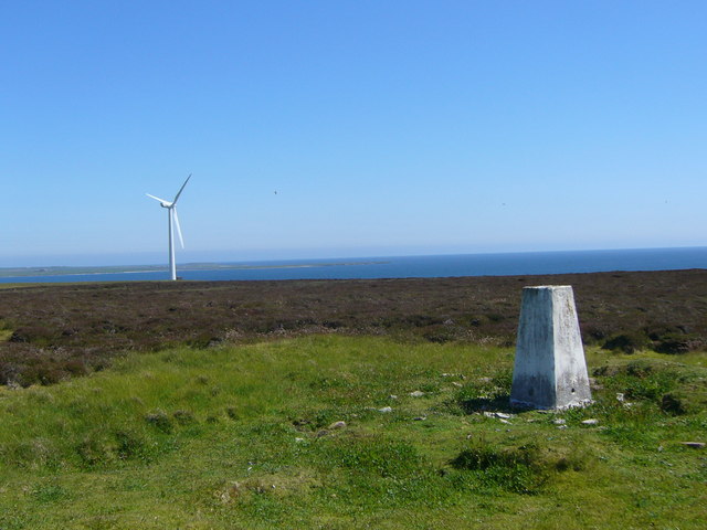
Rothisholm trig
 Map © Crown Copyright")
TIP: Click the map for more Large scale mapping
- Grid Square
- HY6121, 3 images (more nearby 🔍)
- Photographer
- Iain Macaulay (more nearby)
- Date Taken
- Wednesday, 24 June, 2009 (more nearby)
- Submitted
- Friday, 26 June, 2009
- Subject Location
-
OSGB36:
 HY 617 216 [100m precision]
WGS84: 59:4.8033N 2:40.1324W - Camera Location
-
OSGB36: HY 617 216
- View Direction
- Southeast (about 135 degrees)