2009
TQ5061 : M25 Motorway, Anti-clockwise
taken 15 years ago, near to Badgers Mount, Kent, England
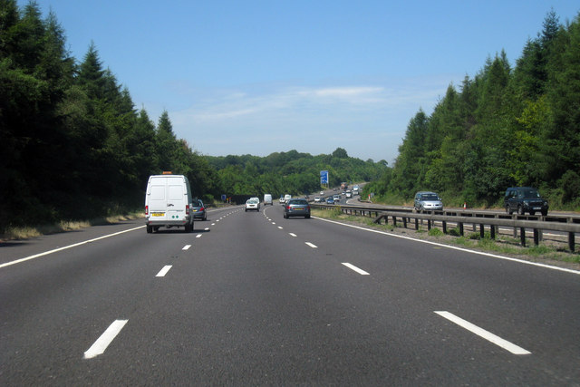
M25 Motorway, Anti-clockwise
The M25 is a 117 mile orbital motorway that encircles London. It was constructed between 1975 and 1986.
The motorway is not a continuous loop as a section to the East of London at The Dartford Crossing is an A-Road.
Wikipedia; Link
See other images of M25 Motorway
The motorway is not a continuous loop as a section to the East of London at The Dartford Crossing is an A-Road.
Wikipedia; Link
See other images of M25 Motorway
 Map © Crown Copyright")
TIP: Click the map for more Large scale mapping
- Grid Square
- TQ5061, 31 images (more nearby 🔍)
- Photographer
- Oast House Archive (more nearby)
- Date Taken
- Wednesday, 1 July, 2009 (more nearby)
- Submitted
- Wednesday, 1 July, 2009
- Subject Location
-
OSGB36:
 TQ 503 618 [100m precision]
WGS84: 51:20.1254N 0:9.3983E - Camera Location
-
OSGB36: TQ 503 617
- View Direction
- North-northwest (about 337 degrees)