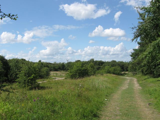
SP9314 : Tracks at the North End of College Lake
taken 15 years ago, near to Marsworth, Buckinghamshire, England
(College Lake Nature Reserve Link
College Lake is a large nature reserve with a very wide variety of habitats created from a large chalk pit. There is a large area of marsh with islands, and a deep water lake, while the cliffs surrounding the pit are in various stages of being "recovered" by nature. There is open meadow land and an area kept as an old fashioned cornfield full of flowers. There is woodland all round the area (originally planted to hide the quarry) and a large new woodland of native trees and shrubs. This all means that whatever time of the year you visit you can expect to see a wide variety of wildlife.
There are good facilities for the visitor (and for school parties), including many hides, and displays of old agricultural equipment. It is run by the Berks, Bucks & Oxon Wildlife Trust. Link
 Map © Crown Copyright")
- Grid Square
- SP9314, 195 images (more nearby 🔍)
- Photographer
- Chris Reynolds (more nearby)
- Date Taken
- Sunday, 12 July, 2009 (more nearby)
- Submitted
- Monday, 13 July, 2009
- Subject Location
-
OSGB36:
 SP 931 148 [100m precision]
WGS84: 51:49.4497N 0:39.0160W - Camera Location
-
OSGB36: SP 931 147
- View Direction
- Northwest (about 315 degrees)