2009
SD3181 : Near the Barrow road
taken 15 years ago, near to Arrad Foot, Cumbria, England
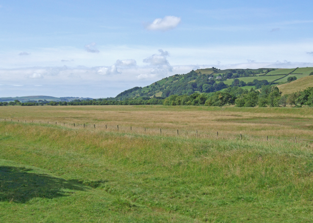
Near the Barrow road
Farmland between the River Leven and the road to Barrow in Furness
 Map © Crown Copyright")
TIP: Click the map for more Large scale mapping
- Grid Square
- SD3181, 45 images (more nearby 🔍)
- Photographer
- Dennis Turner (more nearby)
- Date Taken
- Saturday, 11 July, 2009 (more nearby)
- Submitted
- Saturday, 18 July, 2009
- Subject Location
-
OSGB36:
 SD 314 815 [100m precision]
WGS84: 54:13.4762N 3:3.2217W - Camera Location
-
OSGB36: SD 314 815
- View Direction
- Southwest (about 225 degrees)