2009
SE6853 : Bridleway to Dunnington
taken 15 years ago, near to Holtby, York, England
This is 1 of 3 images, with title Bridleway to Dunnington in this square
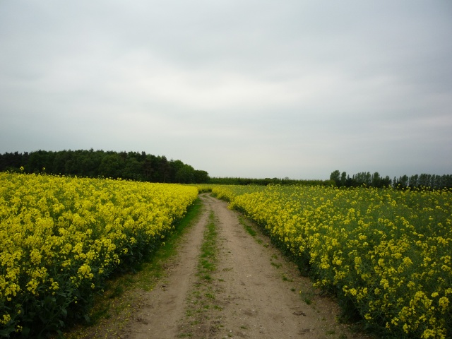
Bridleway to Dunnington
Part of Sustrans national cycle route 66. This bridleway runs between Dunnington and Stamford Bridge.
 Map © Crown Copyright")
TIP: Click the map for more Large scale mapping
- Grid Square
- SE6853, 47 images (more nearby 🔍)
- Photographer
- DS Pugh (more nearby)
- Date Taken
- Monday, 25 May, 2009 (more nearby)
- Submitted
- Wednesday, 5 August, 2009
- Subject Location
-
OSGB36:
 SE 687 533 [100m precision]
WGS84: 53:58.2722N 0:57.1674W - Camera Location
-
OSGB36: SE 688 533
- View Direction
- West-southwest (about 247 degrees)