2009
SU7823 : Underneath Durford Bridge
taken 15 years ago, near to Sheet, Hampshire, England
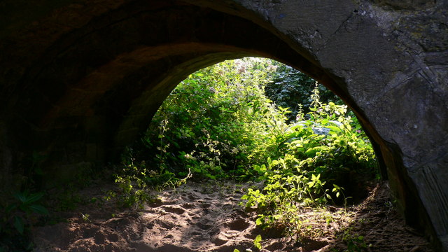
Underneath Durford Bridge
Durford Bridge has four arches. This, the southernmost one, is dry.
 Map © Crown Copyright")
TIP: Click the map for more Large scale mapping
- Grid Square
- SU7823, 73 images (more nearby 🔍)
- Photographer
- Shazz (more nearby)
- Date Taken
- Saturday, 8 August, 2009 (more nearby)
- Submitted
- Sunday, 9 August, 2009
- Subject Location
-
OSGB36:
 SU 782 232 [100m precision]
WGS84: 51:0.2158N 0:53.1691W - Camera Location
-
OSGB36: SU 782 232
- View Direction
- South-southwest (about 202 degrees)