2009
TL4313 : Bridleway west of Gilston Park
taken 17 years ago, near to Eastwick, Hertfordshire, England
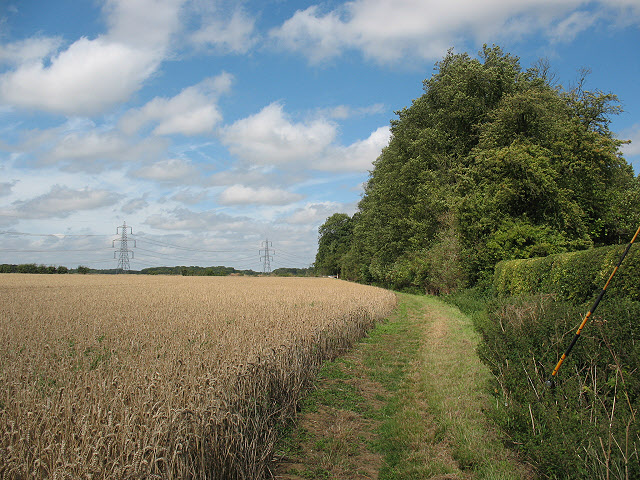
Bridleway west of Gilston Park
The bridleway, carefully left by the farmer as a pleasant strip of grass at the edge of a wheatfield, runs along the western edge of the woodland that forms part of the Gilston Park estate.


TIP: Click the map for more Large scale mapping
- Grid Square
- TL4313, 11 images (more nearby 🔍)
- Photographer
- Stephen Craven (more nearby)
- Date Taken
- Saturday, 15 August, 2009 (more nearby)
- Submitted
- Sunday, 16 August, 2009
- Subject Location
-
OSGB36:
 TL 435 131
[100m precision]
WGS84: 51:47.8936N 0:4.7932E - Camera Location
-
OSGB36:
TL 435 130
- View Direction
- North-northeast (about 22 degrees)


