2009
H1241 : Firebreak at Belmore
taken 15 years ago, 3 km from Boho, Co Fermanagh, Northern Ireland
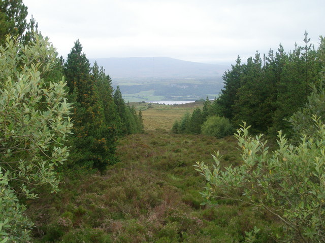
Firebreak at Belmore
A fire break in Belmore Forest reveals a great view to the South, in the distance is Lower Lough Macnean and Hanging Rock.
Loading map... (JavaScript required)
- Grid Square
- H1241 (more nearby 🔍)
- Photographer
- Gareth Buchanan (more nearby)
- Date Taken
- Sunday, 16 August, 2009 (more nearby)
- Submitted
- Sunday, 16 August, 2009
- Subject Location
-
Irish:
 H 128 417 [100m precision]
WGS84: 54:19.4338N 7:48.2417W - Camera Location
-
Irish: H 128 417
- View Direction
- SOUTH (about 180 degrees)