2009

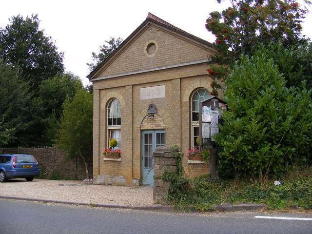
TM2953 : Ufford Chapel (converted)

taken 15 years ago, near to Ufford, Suffolk, England

Ufford Chapel (converted)
On the B1438 Yarmouth Road

Creative Commons Licence [Some Rights Reserved]   © Copyright Geographer and licensed for reuse under this Creative Commons Licence.
Geographical Context: Housing, Dwellings Chapel: Converted On: The B1438 Yarmouth Road At: Ufford Primary Subject: House Category: Chapel (converted) other tags: Ufford Chapel B1438 Yarmouth Road Chapel (Converted) Click a tag, to view other nearby images.
This photo is linked from: Automatic Clusters: · Chapel [3] ·
1:50,000 Modern Day Landranger(TM) Map © Crown Copyright
+
+
1:50,000 Modern Day Landranger(TM) Map © Crown Copyright
TIP: Click the map for more Large scale mapping
Grid Square
TM2953, 49 images   (more nearby 🔍)
Photographer
Geographer   (more nearby)
Date Taken
Monday, 24 August, 2009   (more nearby)
Submitted
Tuesday, 25 August, 2009
Subject Location
OSGB36: geotagged! TM 2947 5324 [10m precision]
WGS84: 52:7.7875N 1:21.0744E
Camera Location
OSGB36: geotagged! TM 2948 5324
View Direction
WEST (about 270 degrees)
Clickable map
+
NW N NE
W Go E
SW S SE
Image classification(about): Geograph
This page has been viewed about 29 times
You are not logged in login | register