2009
SJ7204 : Monarch's Way leaving Kemberton
taken 15 years ago, near to Kemberton, Shropshire, England
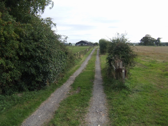
Monarch's Way leaving Kemberton
At this point the Way takes off diagonally across a field towards Brockton. The loop from Boscobel to the Royal Barn at Madeley is apparently not often walked.
 Map © Crown Copyright")
TIP: Click the map for more Large scale mapping
- Grid Square
- SJ7204, 31 images (more nearby 🔍)
- Photographer
- John M (more nearby)
- Date Taken
- Saturday, 29 August, 2009 (more nearby)
- Submitted
- Sunday, 30 August, 2009
- Subject Location
-
OSGB36:
 SJ 727 041 [100m precision]
WGS84: 52:38.0753N 2:24.2625W - Camera Location
-
OSGB36: SJ 727 042
- View Direction
- South-southwest (about 202 degrees)